

Kangur-Lift System
System for lifting of the Level-Plane Evo 14, composed of a telescopic column with pneumatic extension by hand pump.

Level-Plane Evo 14
Platform for automatic biaxial leveling with accuracy +/-3”, for 3D Laser Scanner surveys or robotic Total Station

Kangur-Lift
System for the lifting of 3D Laser Scanner, composed of a telescopic column with pneumatic extension by hand pump.

RIEGL VZ-600i
RIEGL‘s latest generation of professional Terrestrial Laser Scanners stands out with extreme versatility, high productivity, ultimate performance and additional mobility – providing an ...

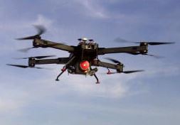
RIEGL miniVUX-3UAV
Extremely lightweight airborne laser scanner, designed specifically for integration with UAS/UAV/RPAS.
RiCOPTER with VUX-SYS
The RIEGL VUX-SYS is a complete miniaturized airborne laser scanning system solution of low weight and compact size for flexible use in UAS/UAV/RPAS, helicopter, gyrocopter and ultra-light ...

RIEGL VMX-Rail
The RIEGL VMX-RAIL is a fully integrated Mobile Laser Scanning System for track mapping and clearance surveying. The triple scanner system design allows for utmost efficient capturing of ...

RIEGL VQ-880-G II
Based on the proven topo-hydrographic airborne laser scanning system VQ-880-G, RIEGL now presents the new VQ-880-G II, which impresses with improved performance of the IR channel and offers ...

RIEGL VMQ-1HA
The RIEGL VMQ-1HA is a compact, economically priced High-Speed Single Scanner Mapping System, well suited for a variety of mobile mapping applications.

RIEGL VMX-2HA
The RIEGL VMX-2HA is a High Speed, High Performance Dual Scanner Mobile Mapping System which provides dense, accurate, and feature-rich data at highway speeds. With 2 million measurements ...

RIEGL VQ-1560i and NEW RIEGL VQ-1560i-DW
The new ultra-high performance, fully integrated and calibrated Dual Channel Airborne Mapping System RIEGL VQ-1560i makes use of RIEGL's sophisticated Waveform-LiDAR technology enabling an ...

RIEGL VQ-880-G and NEW RIEGL VQ-880-GH
The RIEGL VQ-880-G is a fully integrated airborne laser scanning system for combined hydrographic and topographic surveying.

RIEGL VQ-780i
The new RIEGL VQ-780i is a high performance, rugged, lightweight, and compact airborne mapping sensor. This versatile system is designed for high efficient data acquisition at low, mid, and ...

RIEGL VZ-6000
The new high speed, high resolution terrestrial 3D Laser Scanner VZ-6000 offers an extremely long measurement range of more than 6000 m for topographic (static) applications. Being the ...

RIEGL VZ-400i
The RIEGL VZ-400i is a 3D Laser Scanning System which combines an innovative new processing architecture, internet connectivity, and a suite of MEMS sensors with RIEGL’s latest Laser ...

RIEGL BathyCopter
World's first Small-UAV-Based Surveying System for Hydrographic Applications
3DM PLUGIN FOR 3RD PARTY
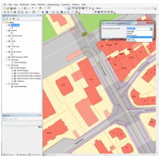
QGIS, AutoCAD Map, ArcGIS for Desktop, ArcONLINE, GeoCortex, API access published 3D mapping data within 3rd party workflow measure, overlay and extract from Imagery & Point Cloud

Orbit 3DM Content Manager
organize & manage, catalog & archive improve & optimize image and point cloud data QA/QC, document and report independent deliver ready-made projects after capture upload to share online

3DM FEATURE EXTRACTION
Complete mapping unit for Image, LiDAR and DSM mapping process features and results in semi- or full automated mode document assets, centralize data management roles and permissions for ...
