Products by Solutions
Results 1 - 4 of 4
Mapping & GIS

Orbit 3DM Content Manager
organize & manage, catalog & archive improve & optimize image and point cloud data QA/QC, document and report independent deliver ready-made projects after capture upload to share online
Base price:

3DM PLUGIN FOR 3RD PARTY
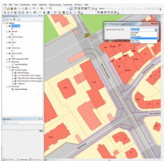
QGIS, AutoCAD Map, ArcGIS for Desktop, ArcONLINE, GeoCortex, API access published 3D mapping data within 3rd party workflow measure, overlay and extract from Imagery & Point Cloud
Base price:

3DM FEATURE EXTRACTION
Complete mapping unit for Image, LiDAR and DSM mapping process features and results in semi- or full automated mode document assets, centralize data management roles and permissions for ...
Base price: